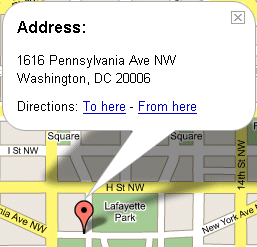
It all started with Mapquest. I think. Yahoo was getting their maps from somewhere. And then not to be out-done, Google added their own mapping service, with a slick interface that was three-dimensional and interactive. And then Google added satellite views.
Combined with Amazon's A9 service, this means you can get driving directions, views from the street, and views from the air. What's next - infrared scans showing how many people are in the building?
It feels like the future as the giant search engines fight each other with
cool
technology.